


Fast and Wide: Profiling Tonipiriama
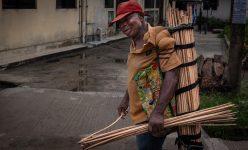
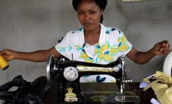
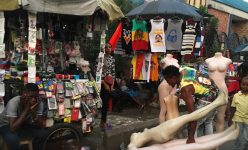
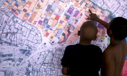
For many years, as a team of curious and committed community mappers we have been honing our skills and exploring many of the neglected parts of our city. Chicoco Maps has carried out in-depth household surveys, detailed the structures and infrastructures in our neighborhoods and charted the commercial enterprises based in them. We have conducted focus groups, interviewed countless community members, staked out on observation exercises of local facilities and shared our findings with our neighbours, partners and government in public encounter and exchange sessions.
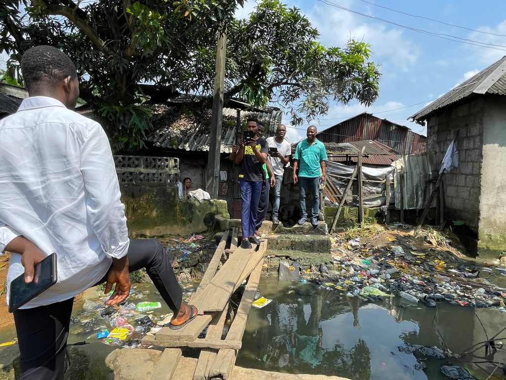
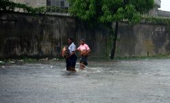
Our typical Chicoco mapping process includes many stages such as: boundary demarcation; structure, infrastructure and unit mapping; as well as household and business surveys. This provides us with a lot of very granular information. However, it is also very time consuming and resource intensive. It has been easier to undertake this mapping process in communities we are very familiar with and where many of us live. However, we still lack a comprehensive understanding of exactly how many different waterfront communities exist, where they are, what their boundaries, broad characteristics and features are, or how they organise themselves or understand their histories.
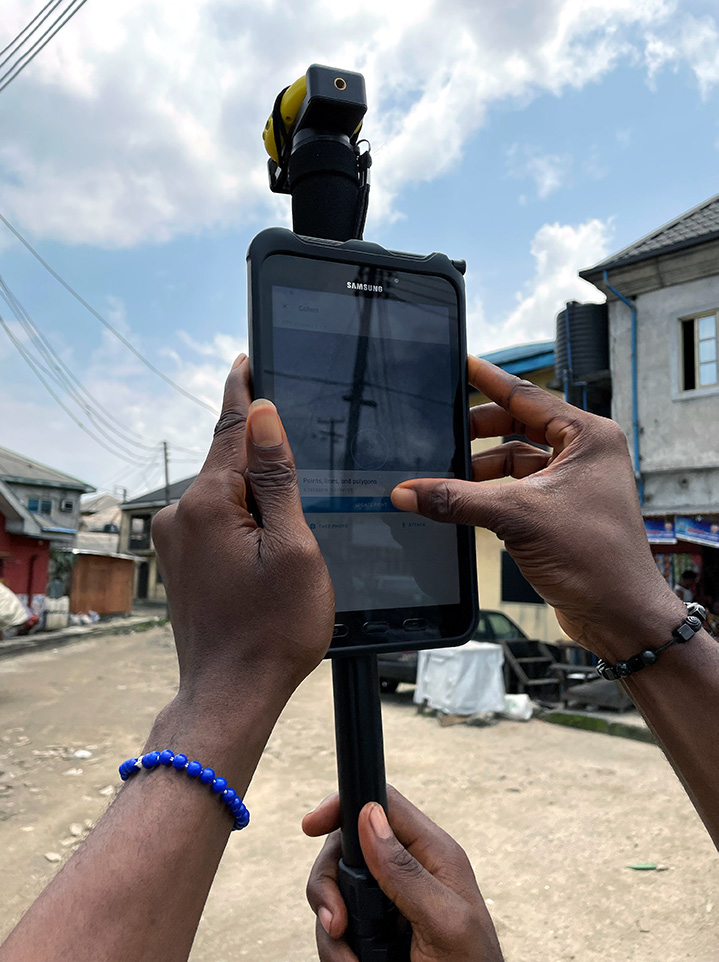
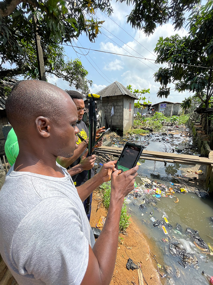
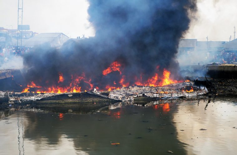
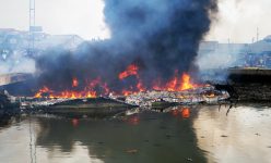
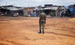
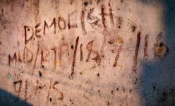
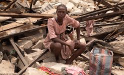
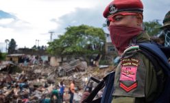
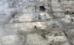
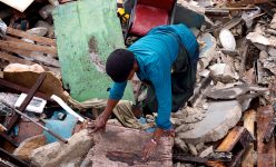
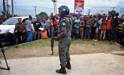
By instituting a rapid profiling programme, we are complementing our intensive research approach with an extensive exploratory effort. We are developing a basic understanding of all the waterfront communities across Port Harcourt and are building an inclusive database of all these communities. We have long noted that it is difficult for us to start mapping in a community where we have limited existing on-the-ground information. By doing this rapid profiling we will have a base level of information for all waterfront communities. This can help us make more informed plans for continuing our intensive mapping and prioritising at-risk communities so that we can better respond to emergency situations, such as forced evictions. The value and urgency of this extensive database was highlighted by the extralegal demolition programme launched in the Diobu waterfronts in 2022. The capacities to support claims for certain rights, evidence levels of asset loss, demonstrate the human and economic impacts of a forced eviction in advocacy efforts prior to demolition or even to powerfully publicise those impacts after a mass demolition are all supported by having the kind of comprehensive database our community rapid profiling programme generates.
Our rapid profiling programme documents:
• Community History – when was the community established and how was it founded? When did different social, economic, ethnic, and cultural groups settle in the community?
• How has the community changed over the years?
• What is the community leadership structure?
• Key Community Landmarks and features: landmarks and features that the community is well known for.
• Local Institutions: Formal or informal institutions located in or working in the community.
• Key community infrastructure/facilities
• How do people access the community? Is there any transportation infrastructure?
• Development Projects – when did they happen and who led the projects?
• Community Information – previous surveys, data collection, or mapping projects in the community
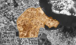
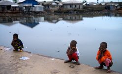
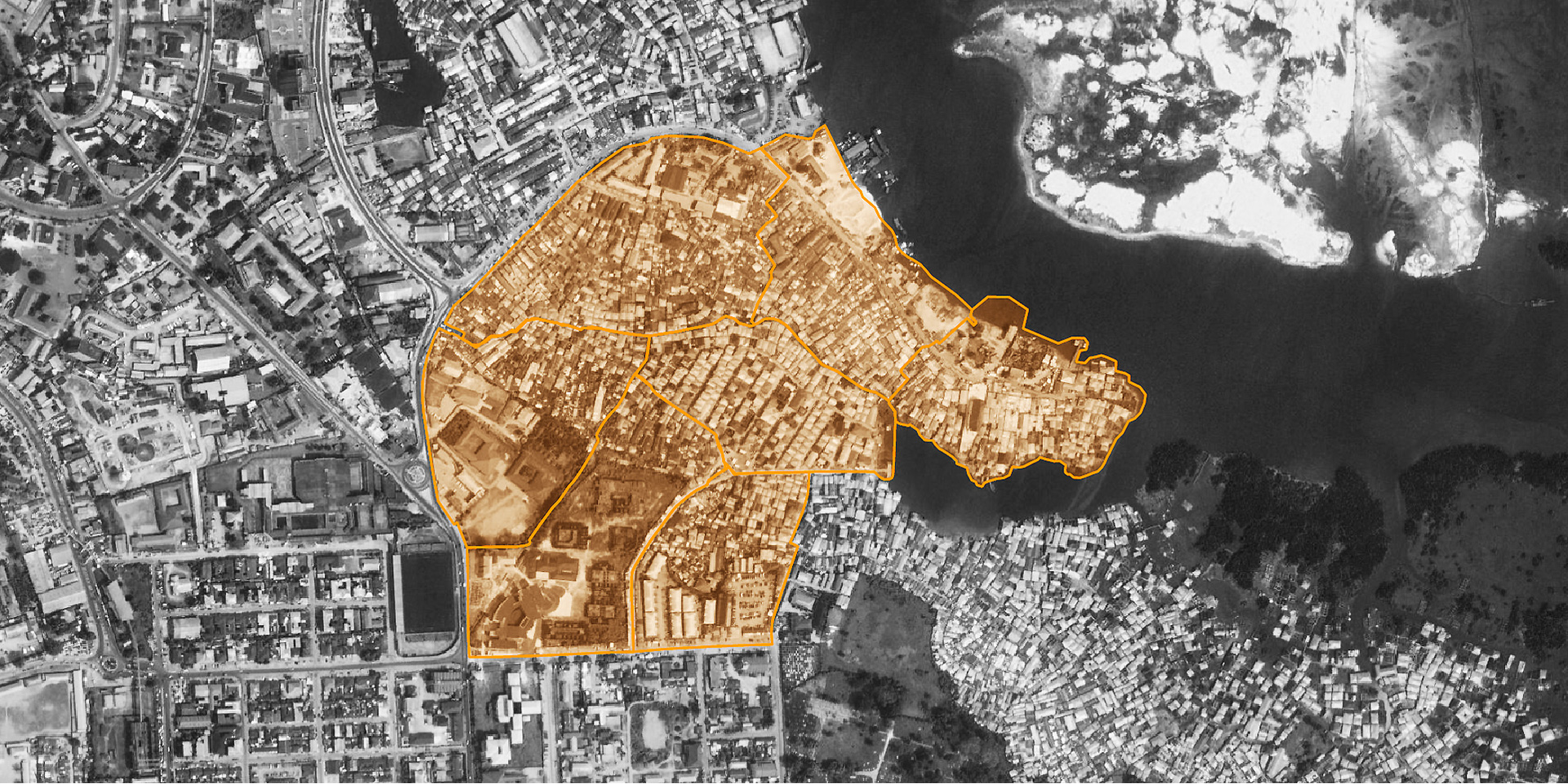
We just presented our first community profile, Tonipiriama Ama, back to the community. Tonipiriama Ama is a waterfront community located in the southern part of Port Harcourt in the region designated as Obumuton-Chiri by the Okrikan tribe. The Ama includes 7 Polos (neighbourhoods): Amatari, Darick, Firisika, Ibidoki, Ibikiri, Iyo and Wakirike. The Ama has an overarching chairman and executive committee (Exco) that oversees the governance of the Polos, with each having its chairman and Exco. Learn more about the Ama and its Polo’s through their community profiles.
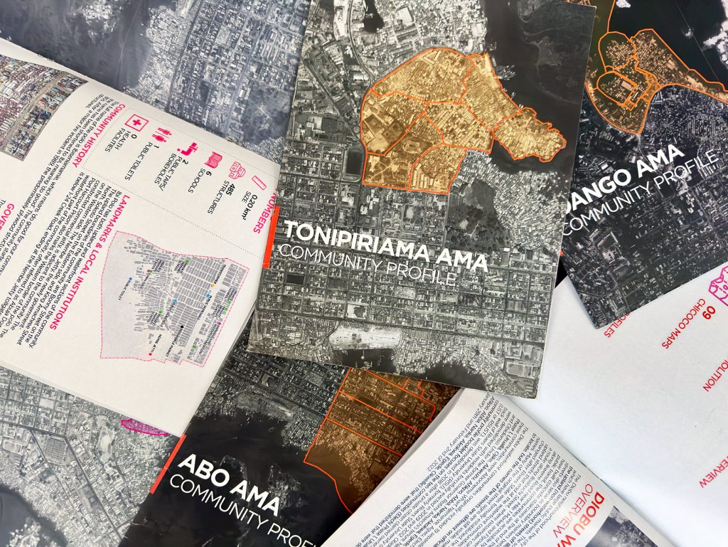
Download the Tonipririama Ama profile here. Stay tuned for more community profiles, we are already busy working on mapping more waterfront communities!