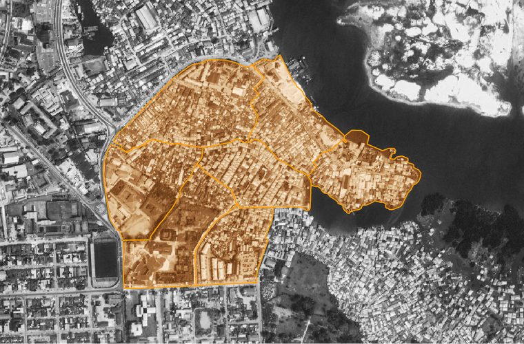

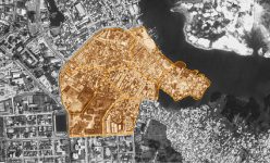


On the Map
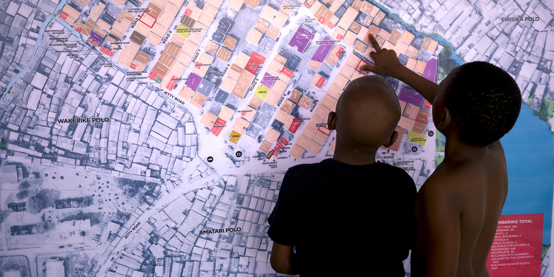
The Chicoco Maps team is producing rapid community profiles of self-built waterfront settlements across Port Harcourt. Some of these communities are as old as the city. With aerial imagery, geospatial data and stories from the streets, we are putting overlooked communities on the map.
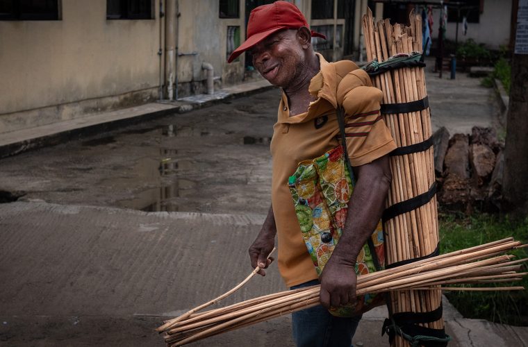
The mapping process draws residents and local activists together, starting conversations and increasing awareness of local assets and challenges. Our maps and survey data have been used by communities to settle boundary disputes and to plan borehole locations. Our maps have the potential to increase the cohesiveness and resilience of local communities .
Nevertheless, the state government’s attitude to these communities alternates between neglect and sudden violence. These communities remain vulnerable to forced eviction. Participatory mapping can increase a community’s resilience, but simply mapping a community is unlikely to halt any bulldozers that the government might send in. If they do get demolished, our maps and data can serve as evidence to support compensation claims. Better to be on the map before you’re wiped off it.
Here’s a 1 minute video of the team in action.